- Home
- Coloring Pages
- Airplane Coloring Page
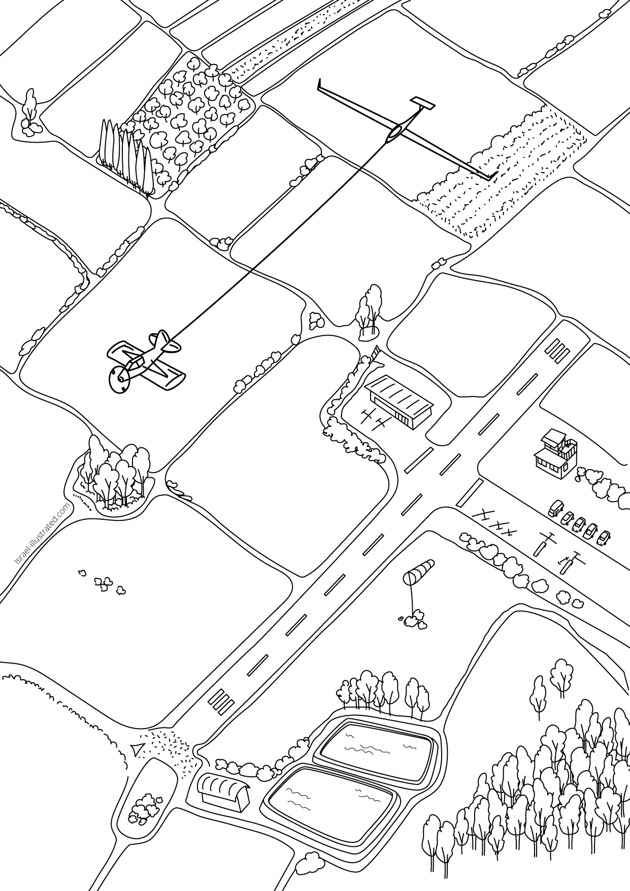
Glider Towed by an Airplane Coloring Page
Maybe I've mentioned this before, but I'm a glider pilot :)
I made this illustration of a glider on aero-tow over my home club, the Megiddo Gliding Center in the middle of the Jezreel Valley, just for fun.
It was so nice as a black and white illustration, I thought it would make a great coloring page, what do you think?
**Update :) I've added a second coloring page of a glider soaring over Mt. Gilboa - scroll down to see!
This image is a preview. To download the print-quality file, please click the blue "download" button. A new browser tab will open and automatically download the zip file to your computer.
(I do this because the print quality files are much too heavy to display on a webpage.)
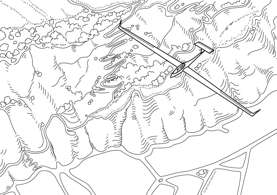
Soaring over Mount Gilboa
After take off let's head east to where the thermals are higher :)
Mt. Gilboa usually gives good lift, but the valley below is full of water reservoirs and fish farms, and if you get stuck there at low altitude, it's very likely to end with an outlanding...

A Typical Israeli Landscape
Although I didn't try to make it an exact map, pilots who know Megiddo airfield and the surrounding area will recognize the typical elements of this sooo-israeli landscape:
The water reservoirs, the bunches of Eucalyptus trees. Big square fields usually belong to a Kibbutz, and narrow thin ones - to a "Moshav".
Paint it green now that it's winter - but if you paint in in the summer, make the ground dark brown and all the wheat field yellow!
Mt Gilboa has dark trees and a dusty brown cliffs. The roads winding across it's back are light colored and easy to see from cloud base :)
The top has flat areas with fields on them.
Have fun!
You can see more of my artwork on my artists portfolio website, www.nettacanfi.com.
Follow Me on Instagram:
https://www.instagram.com/nettacanfi/


